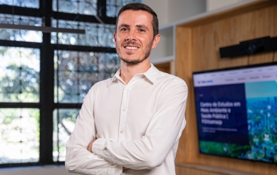
Interview with Weeberb Réquia (FGV EPPG) – Social Inequalities and Exposure to Extreme Heat in Brazil Thematic Axis
In a country marked by social inequalities, the rise in extreme temperatures does not affect all segments of the population equally. In this interview, researcher Weeberb Réquia from the School of Public Policy and Government at Fundação Getulio Vargas (FGV EPPG) analyzes how income, race, education, and geographic location influence exposure to intense heat, revealing why vulnerable populations are on the front lines of climate risks.
1 – What characterizes extreme heat scientifically, and why is it a growing risk in tropical regions?
Weeberb Réquia: Scientifically, extreme heat occurs when the combination of temperature and humidity exceeds thresholds that overwhelm human thermoregulation (measured by indices such as HI, WBGT, or UTCI). In tropical regions, high humidity reduces sweat evaporation, increasing thermal load even at moderate temperatures. Combined with global warming and urban heat islands, the risk is rising rapidly and unevenly.
2 – What are the main factors that make certain social groups more exposed to extreme heat?
Weeberb Réquia: Low-income groups, outdoor workers (construction, urban cleaning, agriculture), the elderly, children, people with chronic illnesses, and residents in areas with few parks, poor housing, high density, and low tree cover—where ventilation is worse and heat retention is higher.
3 – How do variables like income, education, and race influence this exposure?
Weeberb Réquia: Low income and lower education limit access to better-quality housing, cooling systems, healthcare, and formal jobs with protections, resulting in greater exposure and lower adaptive capacity.
4 – Are there significant regional differences in Brazil regarding heat exposure? Which regions face the highest risks?
Weeberb Réquia: The North and Northeast combine high temperatures with high humidity, increasing thermal load. Major cities in the Southeast have intense heat islands in vulnerable neighborhoods. In the Center-West, more frequent heatwaves and prolonged droughts raise risks, especially for outdoor work. In general, urban peripheries and municipalities with low vegetation cover concentrate the greatest dangers.
5 – How can the concept of thermal comfort help broaden understanding of climate impacts on health?
Weeberb Réquia: Thermal comfort integrates temperature, humidity, wind, radiation, and human activity, aligning metrics with what the body actually feels. This helps translate climate risk into health impact, guiding alerts, work schedules, urban design, and more effective interventions than relying solely on “degrees Celsius.”
6 – What types of public policies would be most effective in mitigating the effects of extreme heat on vulnerable populations?
Weeberb Réquia: Early warnings and contingency plans for heatwaves; expansion of green areas and shading along streets and bus stops; thermal retrofitting of low-income housing; access to safe cooling (ventilation, cooling centers); labor protections (breaks, hydration, thermal PPE, schedule adjustments); and integration with primary healthcare to monitor at-risk groups.
7 – How can scientific evidence on thermal inequality be incorporated into urban planning and public health strategies?
Weeberb Réquia: Map “heat islands” and socio-environmental vulnerability by neighborhood; set targets for tree cover and cool materials in pavements and roofs; require thermal comfort analysis in new developments; integrate climate and health data into master plans and surveillance networks, prioritizing investments where thermal inequality is greatest.
8 – Are there examples of initiatives effectively addressing these inequalities?
Weeberb Réquia: Cities that combine targeted tree planting in hot areas, cool roofs/paints, green corridors, and heat-related work protocols have reduced exposure and hospitalizations. Additionally, cooling centers during heatwaves and retrofit programs in social housing show results, especially when focused on vulnerable neighborhoods.
9 – How can academia collaborate with governments and civil society to turn these findings into action?
Weeberb Réquia: Produce high-resolution risk maps and indicators, evaluate policy impacts (before–after), co-design solutions with communities, train health and urban planning professionals, and provide open data and tools to support rapid decision-making.
